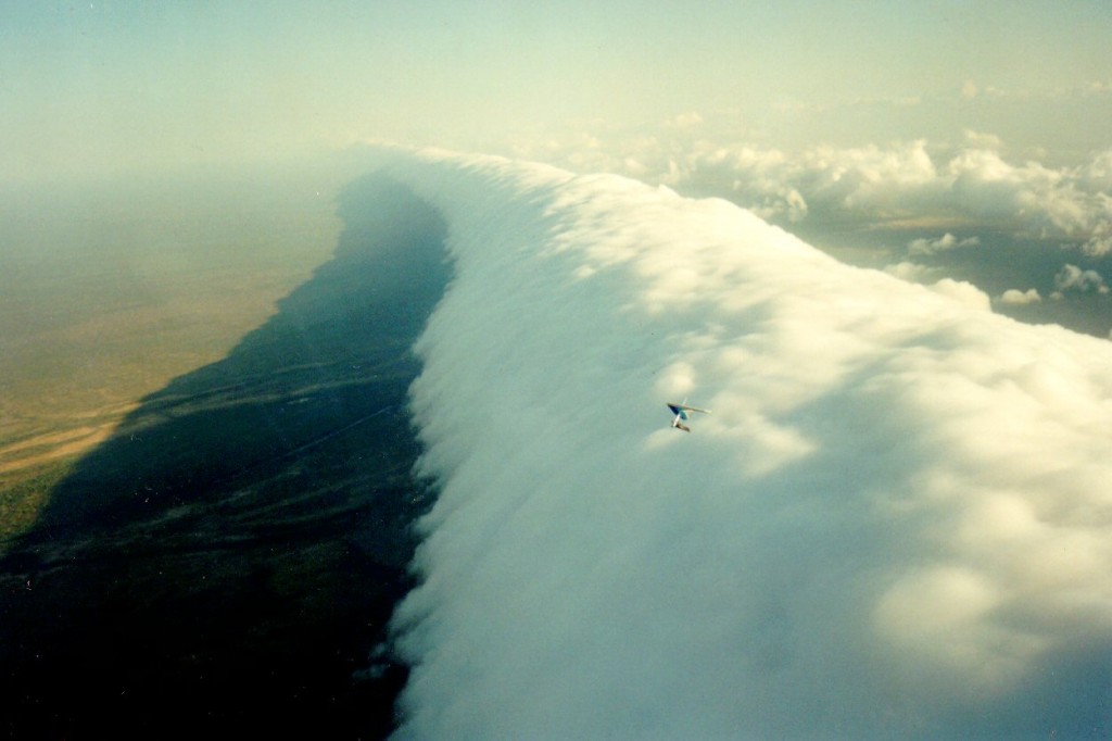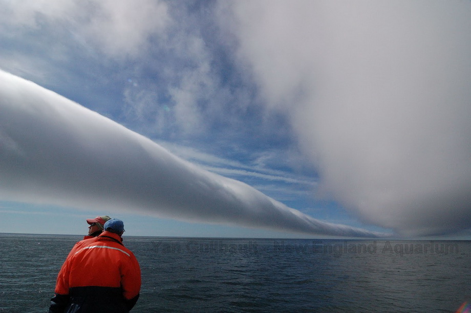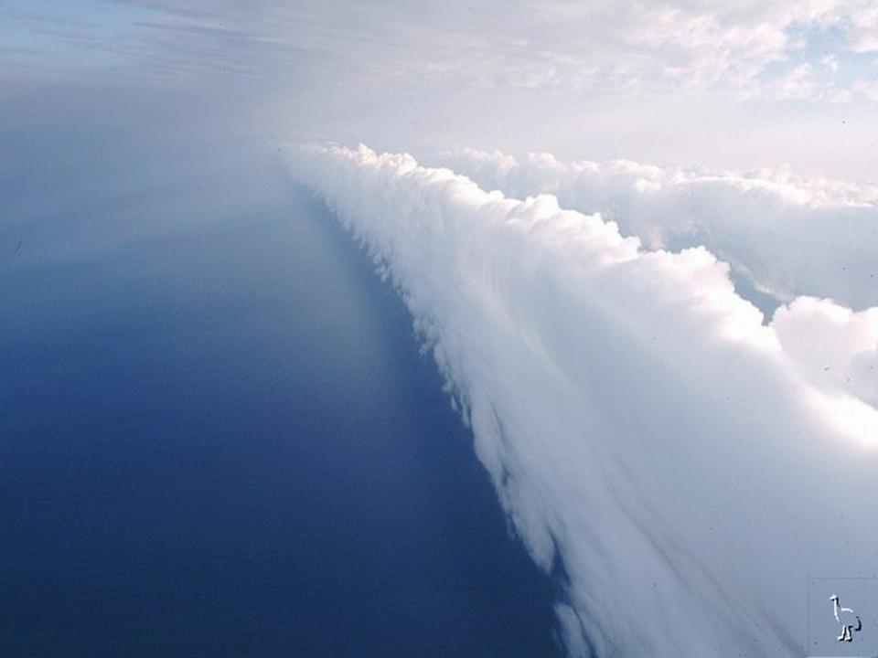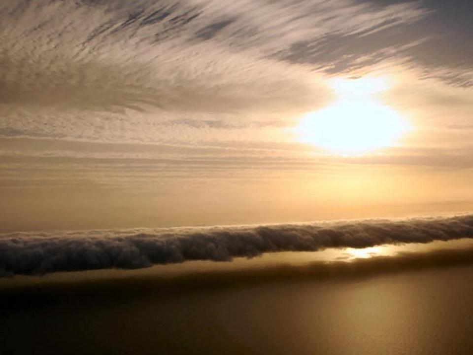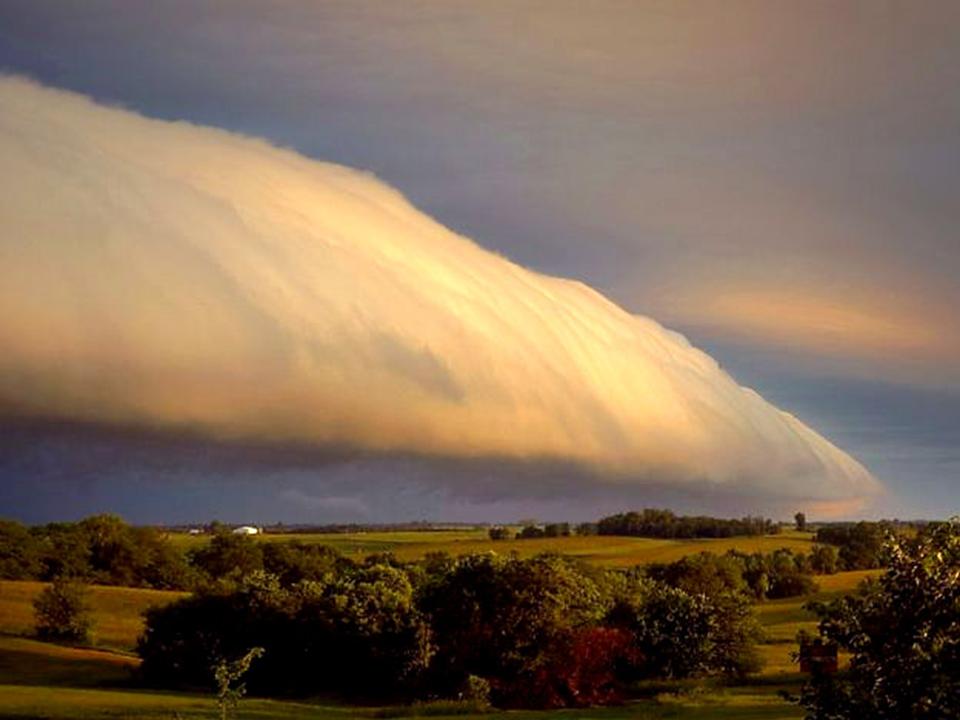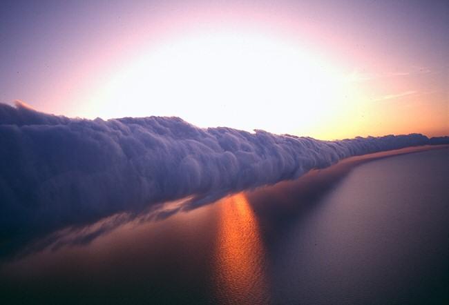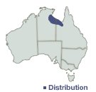
The phenomena can only be predictably observed at the Gulf of Carpentaria in northern Australia between September and November. It gets its name, morning glory cloud, because it can only be observed in the very early morning hours. The map to the right is Australia and the blue-shaded part is the area in which the clouds typically form, best viewed from the very isolated village of Burketown, Queensland, Australia. This occurs in many other parts of the world but only sporadically and not consistently like it does in this gulf.
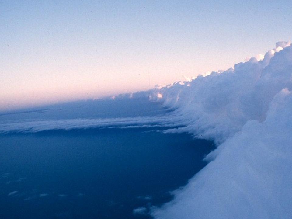
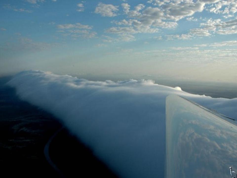
This is a special type of Arcus cloud that tends to be 400-600 miles long, 0.6 to 1.2 miles high in thickness and moves toward the coast at a speed of 40mph.
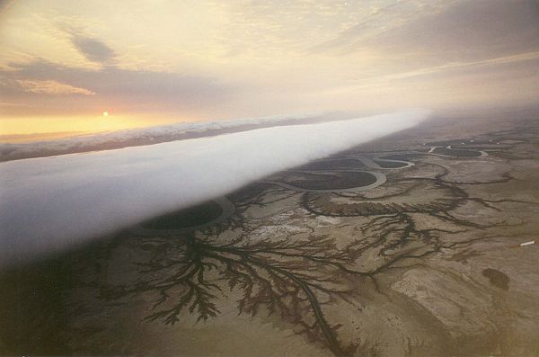
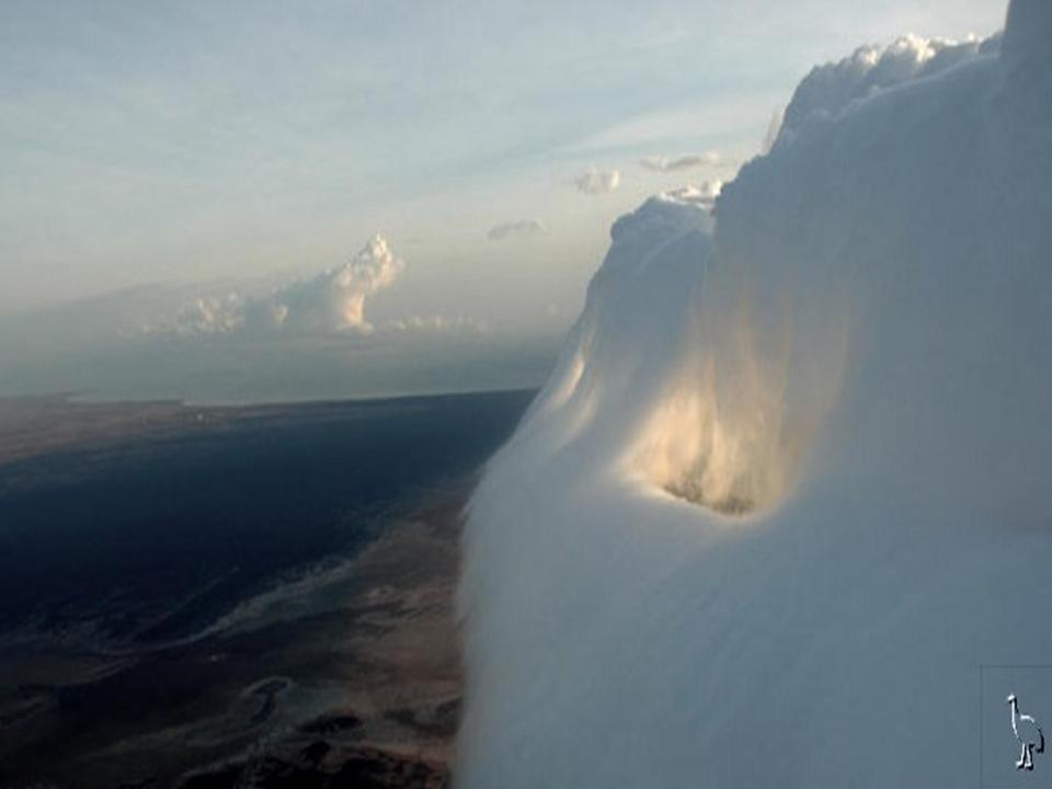
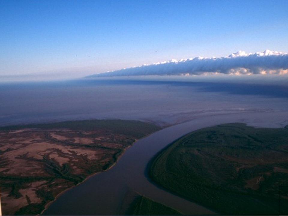
They are always aligned from east to west and there may be several of them. Large air masses of different temperatures clash together to form these clouds. Usually when these air masses collide, the are usually invisible because they don’t have enough moisture to create a cloud, but the humidity is just right in this part of the world during the Fall.
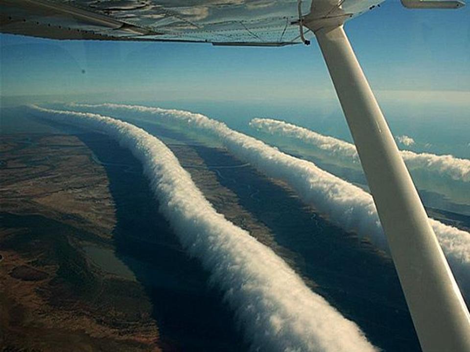
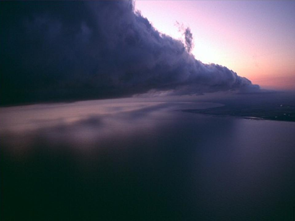
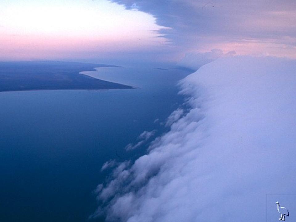
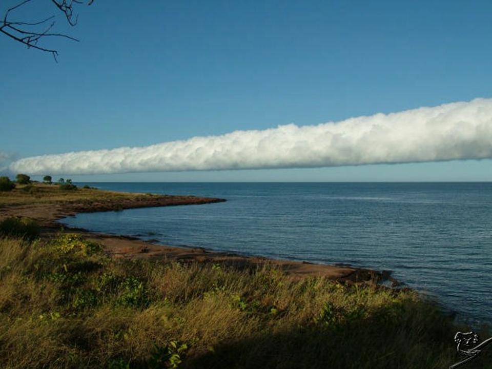
Since 1989, hang gliders and paragliders surf the giant cloud like a wave in an ocean. This is an excellent example of a solitary wave (in the sky) which is a single crest that moves without changing its shape or speed.
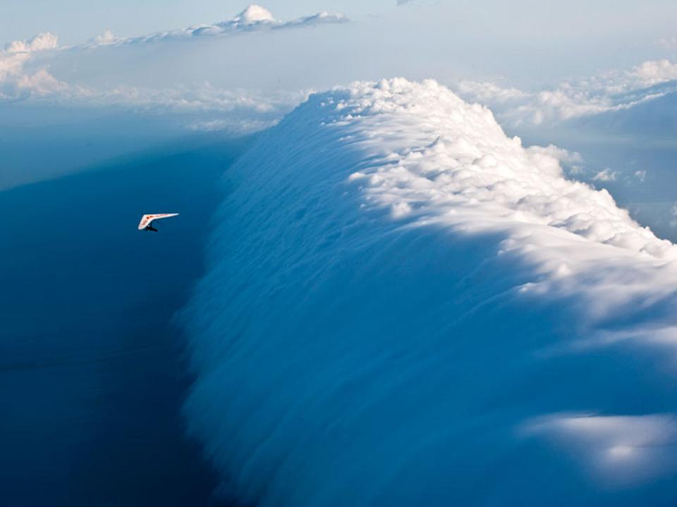
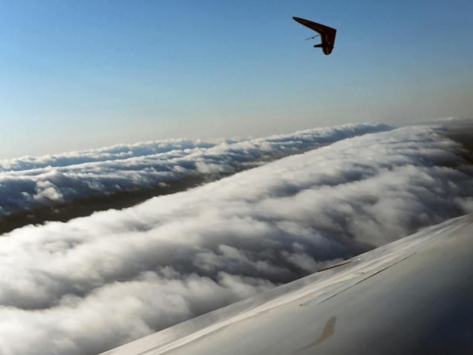
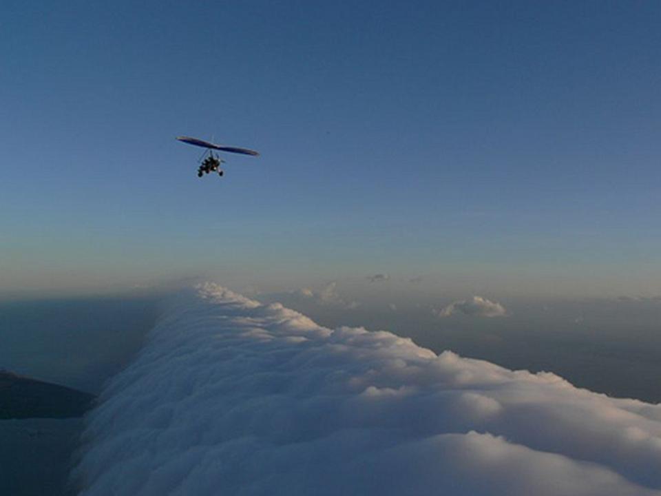
The front of the wave continually picks up warm moisture that rises and creates a strong updraft that lifts the gliders allowing them to zig-zag laterally alongside for hundreds of miles. Behind the cloud however, the air cools down and descends, causing a strong downdraft and lots of turbulence.
The entire thing looks like a continually backwards-rolling harvester in the sky. 