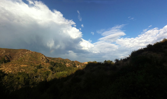
Video: Epic LA Weather Observations with Antranik

Taken from the Custom Anto Forecast for September 23, 2011:
We have a muddled hodge-podge of weather going on right now.
An upper low about 200 miles west of LAX is getting all this cloud-formation happening through convection (heat+water from the ocean rising and becoming clouds) and this is interacting with the DENSE but shallow marine layer that formed overnight. This convective-band has disrupted the marine layer and lifted it up to the point where there are no more low-clouds, as can be seen from the video, but it has become mid-level moisture in the form of alternating thick bands coming onshore from the southwest.
Today will be alternating between partly cloudy and mostly cloudy as these atmosphere alternates from thick bands of moisture to none. These *may* create thunderstorms as the low gets closer to us (it’s moving north and east, toward LA then Santa Barbara). Since there’s no moisture in the low-altitude-atmosphere, we may see “dry” lightning form and “downbursts” (downward drafts of gusty winds) as those thick bands move overhead. So this is interesting cause there is an off-shore flow but there are also clouds coming onshore despite the flow… plus, it makes the sky look awesome.


